All posts by Simon Wood

Lecturer in medical education, lapsed mathematician, Doctor Who fan and garden railway builder. See simonwood.info for more...

Druidstone Haven

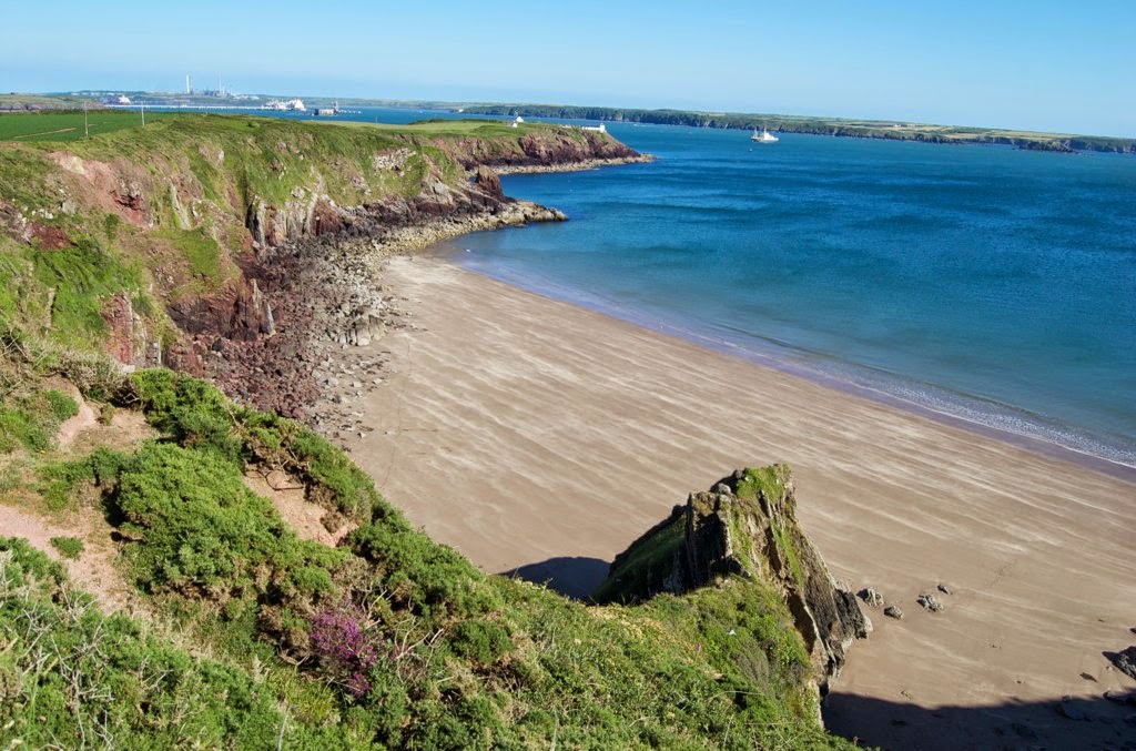
[pe2-image src=”http://lh5.ggpht.com/-RT178_xZbYM/U8Qjo9wh8bI/AAAAAAADbgc/-0QM12A43mY/s144-c-o/7081614443_7a5cee930c_o.jpg” href=”https://picasaweb.google.com/105041492449804846682/MarloesSitePhotos?authkey=Gv1sRgCOjW7f3e5e7JdA#6035988587263160754″ caption=”” type=”image” alt=”7081614443_7a5cee930c_o.jpg” ]

 A beautiful long sandy beach at low tide, a short shingle beach at high tide. Interesting rock pools and caves are revealed at the lowest tide. Horses from Nolton often come and gallop along the waters edge. The Hotel on the cliff serves excellent food and on a sunny and sheltered day, there is no finer place to sit than on their terrace.

[miniflickr user_id=47981017@N06 tags=”druidstone, beach” sort=”interestingness-desc”]


Accessibility: ***
The paths onto the beach (there’s a public path and a private path from the hotel) are reasonable, it is necessary to cross the shingle to reach the sand..

Distance on foot: 10 miles

Distance by car: 9.3 miles.


Solva

[pe2-image src=”http://lh5.ggpht.com/-RusOOhytf1c/U8QjQOgQhlI/AAAAAAADbgM/0qX8J4MlJSs/s144-c-o/5647796426_a9787f0be5_o.jpg” href=”https://picasaweb.google.com/105041492449804846682/MarloesSitePhotos?authkey=Gv1sRgCOjW7f3e5e7JdA#6035988162261583442″ caption=”Solva” type=”image” alt=”5647796426_a9787f0be5_o.jpg” ]

A lovely village nestling beside beautiful natural harbour. Not much of a beach, but lovely walks (up to the headland and over down the neighbouring shingle beach at St Elvis’) and good pub food and cream teas can be had in the village. There is a wool mill a little way up the valley.

[miniflickr user_id=47981017@N06 tags=”solva” sort=”interestingness-desc”]


Accessibility: *****
There is a car park right on the seafront.

Distance on foot: 16.6 miles

Distance by car: 17 miles
(There is a pay car-park.)


Watwick Bay

[pe2-image src=”http://lh3.ggpht.com/-g-4qPtXQWeA/U7huMR7hwuI/AAAAAAADbQw/jw0MtIR-L3Q/s144-c-o/8672569705_ae2062e1a1_k.jpg” href=”https://picasaweb.google.com/105041492449804846682/MarloesSitePhotos?authkey=Gv1sRgCOjW7f3e5e7JdA#6032692858113344226″ caption=”Watwick” type=”image” alt=”8672569705_ae2062e1a1_k.jpg” ]

An extremely secluded, small, sandy beach (smaller still, but remaining sandy at high tide). Sheltered from the prevailing wind, overlooking the haven. Popular destination for boats in the summer months, but often deserted out of season.

[miniflickr user_id=47981017@N06 tags=”watwick, beach” sort=”interestingness-desc”]


Accessibility: ***
There’s a reasonable length path down which slopes moderately, with steps at the bottom onto the beach..

Distance on foot: 4.5 miles

Distance by car:  4.5 miles


West Dale

[pe2-image src=”http://lh6.ggpht.com/-Puq5MXn2DgI/U7huJIp1vjI/AAAAAAADbQo/NnYbgafpnEE/s144-c-o/8631762375_9bc528dd0a_k.jpg” href=”https://picasaweb.google.com/105041492449804846682/MarloesSitePhotos?authkey=Gv1sRgCOjW7f3e5e7JdA#6032692804083629618″ caption=”West Dale” type=”image” alt=”8631762375_9bc528dd0a_k.jpg” ]

A small, sandy beach at all but the highest tide, with some rock pools. Popular with surfers, but little shelter from the prevailing wind, and swimmers be warned: there can be a nasty rip tide.

Continue reading West Dale

Dale Beach

[pe2-image src=”http://lh5.ggpht.com/-OUA8eZIfmck/U7huOGCADRI/AAAAAAADbQ8/rN3R-PqIQpo/s144-c-o/4724421711_3e3442144d_o.jpg” href=”https://picasaweb.google.com/105041492449804846682/MarloesSitePhotos?authkey=Gv1sRgCOjW7f3e5e7JdA#6032692889279008018″ caption=”Dale” type=”image” alt=”4724421711_3e3442144d_o.jpg” ]

A shingle beach along the seafront at Dale (an expanse of flat sand appears only at very low tides). Popular for sailing, windsurfing and other water-sports, there is a pontoon during the summer months, and kids can be observed on the beach from the comfort of the wall opposite the Griffin Inn.

Continue reading Dale Beach

Lindsway Bay

[pe2-image src=”http://lh6.ggpht.com/-7DNE_hAHGKU/U7ht_1sKO8I/AAAAAAADbQc/YOI9aUw3vYE/s144-c-o/4721938707_6c735a4922_o.jpg” href=”https://picasaweb.google.com/105041492449804846682/MarloesSitePhotos?authkey=Gv1sRgCOjW7f3e5e7JdA#6032692644374264770″ caption=”Lindsway” type=”image” alt=”4721938707_6c735a4922_o.jpg” ]

A secluded, sandy beach at low tide (with only a few rocks at high tides) overlooking the entrance to Milford Haven. Reasonably sheltered, good swimming, some rockpools at low tide.

Continue reading Lindsway Bay

Musselwick Sands

[pe2-image src=”http://lh6.ggpht.com/-zOcloen2yAI/U7hmYiO3rqI/AAAAAAADbPA/-G_7J7LFwDo/s144-c-o/9209658373_7540c39622_o.jpg” href=”https://picasaweb.google.com/105041492449804846682/MarloesSitePhotos?authkey=Gv1sRgCOjW7f3e5e7JdA#6032684272554847906″ caption=”Musselwick Sands” type=”image” alt=”9209658373_7540c39622_o.jpg” ]

At low tide, a sheltered sandy beach, but beware, it is only accessible for an hour or two either side of low water and there is a risk of being cut off.

Continue reading Musselwick Sands

Marloes Sands

[pe2-image src=”http://lh6.ggpht.com/-BCYs6wMJgPQ/U7hmaenEqVI/AAAAAAADbPI/7tEzWeKYeHU/s144-c-o/7672124980_cdf412e165_k.jpg” href=”https://picasaweb.google.com/105041492449804846682/MarloesSitePhotos?authkey=Gv1sRgCOjW7f3e5e7JdA#6032684305942358354″ caption=”Marloes Sands” type=”image” alt=”7672124980_cdf412e165_k.jpg” ]

Almost 2 miles of sand at low tide, with an abundance of rock pools. Plenty of beach for a couple of hours either side of low tide, but very little by the time tide is full. Interesting geological features.

Continue reading Marloes Sands

St Brides

[pe2-image src=”http://lh6.ggpht.com/-3ye4s0gNvb4/U7hpYdW0QlI/AAAAAAADbQI/A9v3Tg6IYfk/s144-c-o/7605164026_cf9b7828ce_k.jpg” href=”https://picasaweb.google.com/105041492449804846682/MarloesSitePhotos?authkey=Gv1sRgCOjW7f3e5e7JdA#6032687569780884050″ caption=”St Brides” type=”image” alt=”7605164026_cf9b7828ce_k.jpg” ]

Easily accessible beach at all tides, with some sand and plenty of rock pools. Often sheltered, there is a grassy picnic spot just above the beach, lime kilns, a small church and a pumping house to explore.

Accessibility: *****
The car park is adjacent to the beach, there is a good path to the picnic spot which has a full view of the beach, and there are various paths onto the beach which either slope gently or involve a few steps.

Distance on foot: 2 miles

Distance by car: 3.5 miles

[miniflickr user_id=47981017@N06 tags=”St Brides, beach” sort=”interestingness-desc”]